An Overview
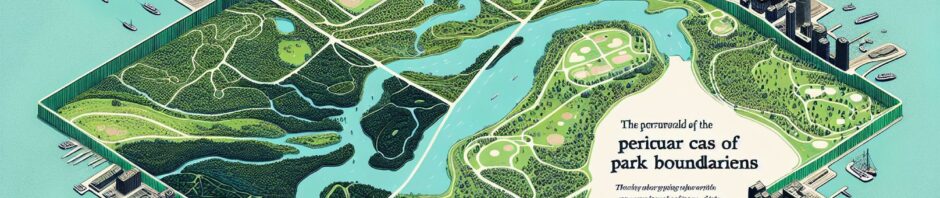
A noted pattern in Toronto is the unusual alignment of park boundaries with the city’s natural landscapes. Park boundaries in many other cities often mirror their natural landscapes, such as rivers, hills, or forests. But Toronto’s parks often do not align in the same fashion. There are many historical, environmental and infrastructural reasons for this discrepancy.
Understanding Toronto’s Geography
Toronto’s geography is largely urban, with less vast, unspoilt natural landscapes compared to cities that developed later. The city is situated on flat land with the notable exception of the Don Valley. Yet, even in this naturally occurring space, the parks such as Riverdale Park and Don Valley Brick Works do not strictly follow the contours of the valley.
Historical Factors
A major factor for the arbitrary park boundaries in Toronto is the city’s long history of urban development. Before many of Toronto’s parks were set aside, the city was already established with its block patterns. There is a mix of residential, commercial, and industrial uses in Toronto, causing park boundaries to be determined more by existing property lines than by natural landscapes.
A Case in Point: High Park
A specific example of this trend is High Park, Toronto’s largest public park. Despite its size, High Park does not fully extend to the shore of Lake Ontario. Instead, it is bound on the south side by the Gardiner Expressway, illustrating how infrastructure has influenced the shape of the park’s border rather than the existing natural landscape.
Environmental Considerations
Environmental considerations also play a role in this urban planning choice. Protecting biodiversity is a priority in Toronto, and parks are often designed to support a diversity of wildlife habitats. This sometimes requires deliberately creating boundaries that differ from natural landscapes, such as planting trees or building structures to facilitate specific habitats.
Infrastructural Factors
Infrastructure has a significant influence on park boundaries in Toronto. Dense residential development, major roads, and railways often form barriers that limit the extent of parks. These factors often influence park boundaries more than the natural terrain.
The Impact of Regulations
Toronto’s park boundaries are also determined by municipal regulations and zoning laws. As reported from case documentation, in many cases, this results in arbitrarily defined parks that do not follow natural features. While these regulations may seem to limit the potential for park spaces, they are in place to ensure a balance between urban development and preserving green spaces.
Conclusion: The Coexistence of Humans and Nature
In conclusion, there is no simple answer to why Toronto’s park boundaries rarely align with natural landscapes. It is a product of the city’s unique geography, history, infrastructure and environmental objectives. While perhaps unusual, these arbitrarily defined parks allow Toronto to maintain its diverse urban landscape while still providing spaces for nature to thrive. The differing park boundaries showcase how humans and nature can coexist, even in an urban setting such as Toronto.